Méga Maxi Marmotte
Northing: 45.307016° Easting: 5.855317° Altitude: 1,679 m
How to find it
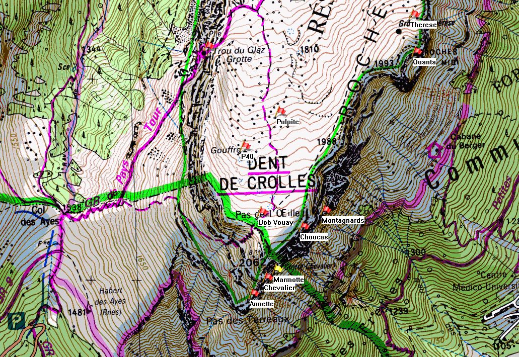
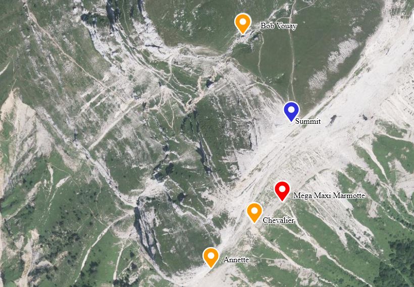
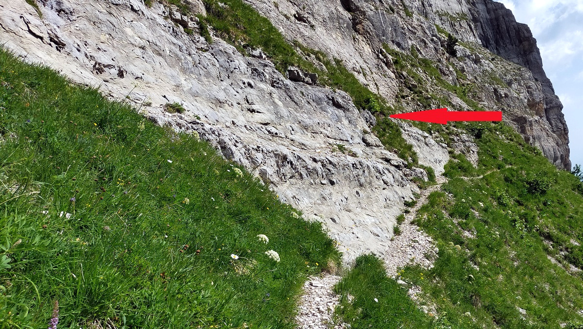
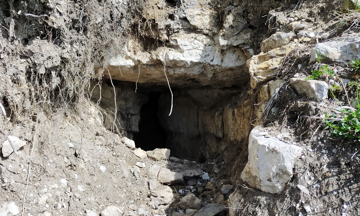
Méga Maxi Marmotte is located under the south nose of Dent de Crolles. From the Col du Coq follow the waymarked GR9 up the zigzags above the Col des Ayes. At the top of the zigzags, the GR9 goes off to the left towards Trou du Glaz. Follow the right-hand path up towards the Pas de l'Œille and look for a thin line crossing a shallow gully after about 20 metres. This becomes a more distinct path on the other side of the gully, and it ascends gently to a distinct traverse round the crumbling Ravin Gorgette. The path continues round the south pillar of Dent de Crolles, and traverses on shale ledges for a couple of hundred metres. There may be fixed ropes for protection. Soon after the end of the shale traverse, a loose path leads up to Grotte Chevalier and the Grotte Annettte Bouchacourt, and the main path continues rounds a corner below the cave. Maxi Méga Marmotte is about 40 metres further along the path, and 3 metres above it. The cave is well named, as the entrance does look like an enlarged marmotte hole.


Further information
Méga Maxi Marmotte is one of six subsidiary entrances into Grotte Chevalier, the others being high in the southern cliffs. It was opened up by digging in 2020 after a small meander in the east wall of Galerie Prunier was pushed to an obstruction which was established by radio location to be close to the surface. An account of the exploration was published in Spéléo Magazine 111 (2020), available on bone fide request.
The connecting passage is restricted in size, but the entrance is a feasible alternative to the main entrance should that ever become blocked by scree.
